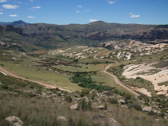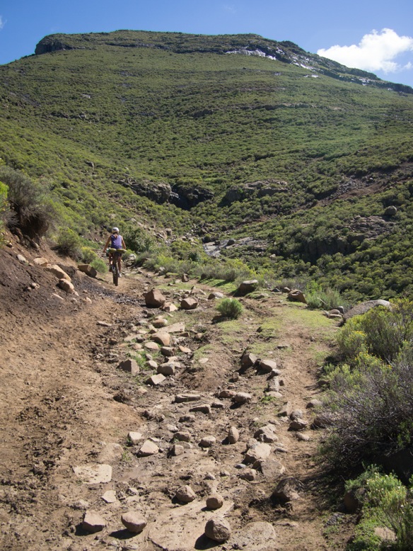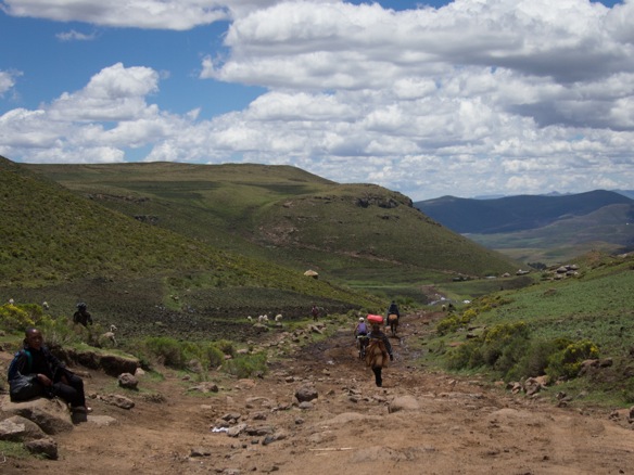
Semonkong- Ha Kobeli- Senqunyane River- Mantsonyane- Pass of Jackals- Thaba Tseka- Ha Leoka- Letlapeng- Khatse Dam- Mapeleng- Ha Lejone- near Kaa Mine- cross Motete River- along Malibamatsu River- Oxbow- Moteng Pass- along Caledon River- Monantsa Pass
This is the second part of our ride across Lesotho, following the Dragon’s Spine Route as described by the GPS tracks downloaded from the Dragon Trax website. Check out the first few days of our ride from the border of South Africa at Tele Bridge to Semonkong, Lesotho.
On the morning of our ninth day in the country, as we crest the border to Monantsa Pass and ride back into South Africa, I am relieved to be leaving Lesotho. But Lesotho ranks next to Albania and Arizona and Alaska as one of the most unforgettable places we’ve ridden. It has been a bewildering and beautiful week, with the most challenging riding of the summer, now the first week in December. We are inspired to see people living their lives close to the land and traveling by foot, towing 50kg sacks of maize atop surefooted donkeys over great distances, because secretly, we despise cars as much as young Albanian men aspire to own them. But the ubiquity of certain insistant exclamations and queries from the roadside– such as “Where to?!” and “Give me the sweets!”– is tiring, overwhelming, and finally disappointing. While living outdoors and traveling at a human pace in Lesotho, on foot or by bicycle, you’ll never not be near people. And when Lael and I finally find a quiet place away from any roads, houses, maize fields, trash, or donkey tracks, a shepherd comes down the mountain to stand close and watch us. A little disappointed, as my energy for this kind of thing has waned in the past week, I manage to smile and say hello.
Completely encased within the border of South Africa, the tiny Mountain Kingdom of Lesotho is a world away from its geographic guardian. Lesotho is lively and exciting, with a unique history that defines a population with more hope and happiness than its neighbor, despite greater poverty on paper. But wealth (or poverty) as described by per capita annual earnings in South Africa and Lesotho does not tell the whole story, not only because Lesotho is far less expensive than South Africa, but because a majority of the Basotho live in rural villages tending to their families and communities, producing food, keeping animals, building homes, and not earning or requiring much money for petrol, electricity, DSTV, or even cold beer. Whereas, many poor South Africans are forced to leave their families for much of the year to work on distant farms or in distant mines, factories, or the homes of wealthy white families to earn money. In South Africa, people live in villages and townships, structured community spaces arranged near shops and schools and other places that cost money. Conversely, the mountainous countryside of Lesotho is blanketed by people and maize, with many small villages of loosely organized homes naturally scattered along a hillside, the land considered a community resource of the Basotho people held in trust by the king. Despite the world’s third highest rate of HIV/AIDS and barefoot children with tattered pants running through the hills, Lesotho seems like a happy place. People are proud to live here. Children smartly inform us, “maize is our staple food” (although nobody in southern Africa seems to realize that maize was at once imported from Mesoamerica to this continent by Europeans, a fact I recall from grade school). Much of the black population of South Africa has been broken by Apartheid– no wonder the people are frequently charged with being unmotivated, uneducated, and unhappy. Lesotho is much, much different. As much as I was eventually ready to leave the country, crossing into Lesotho is a breath of fresh air.
Aside from the inevitable challenges and awakenings of travel in a foreign land, the riding in Lesotho is epic. The geography of the country is hard to grasp at first– aside from being extraordinarily mountainous. A limited pattern of tar roads and decent quality gravel roads cross the connect the country and feed the growing demand for faraway goods, all of which come through the capital city of Maseru. In much of the rest of the country, famously bad roads, footpaths, and animal trails connect everything.
Our less than obvious route across Lesotho crosses deep river valleys and high passes, and we touch our tires to tar only four or five times in about seven days of riding. If looking for a memorable route across the country, the Dragon’s Spine Route delivers, but it is challenging. There are more than a few other ways to plan routes through Lesotho. Exit or entrance via the infamous Sani Pass is recommended by Logan at Pedaling Nowhere. The riders at Lesotho Sky may be able to provide detailed information about off-road routes and more conventional gravel roads and tar. In addition to a mostly complete, but discontinuous GPS track across the country, I relied heavily on both the Tracks4Africa basemaps and the OpenMTBmaps. Both are recommended when traveling off the beaten path in South Africa and Lesotho, as each provides a unique yet incomplete vantage. The tar roads are largely free of traffic, except near Maseru.
Leaving Semonkong with a load of food for two days, and the sense that something unique lay ahead. Our GPS track ventures into roadless terrain, and without topographic detail, I can only guess what lay ahead. There is a river crossing, some GPS waypoints indicating “steep” sections of 4×4 tracks, and other fragments of information that incite some caution (and excitement).

A nice evening for a ride, and a very nice road.
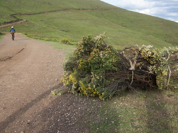
These woman stop us with cheers and jeers, insisting that we try their maize beer.

Some for baby, too.
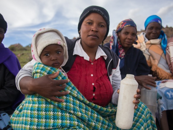
And when the 2L Coke bottle empties, the big blue jug appears to refill it.

Going down.

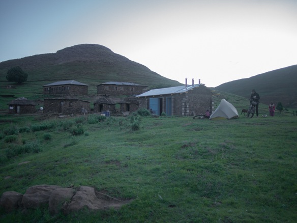
At dark, we ask to put our tent near this village, a practice we’ve developed to limit curiosity in our presence and avoid alarm. Thankfully, the man constructing the structure near our tent is from Maseru, speaks English, and generally understands and appreciates what we are doing, avoiding the usual confusion and excitement of our arrival. This also ensures a little privacy as well, although we do have two visitors while we set-up the tent and unpack. By zipping ourselves into our nylon cocoon, the girls eventually get bored and wander off.
The World Food Programme is responsible for administering many programs in Lesotho. This building will be a kitchen for the school.

Our audience, who we regrettably shut out after we unpack our things. Tired from riding all day, we are most tired from being around people all the time.

Nearing the hottest part of the year, Lesotho is just right in summer. The sun is still intense, but the days are nice and the nights are cool. Most of the country is above 5000ft.

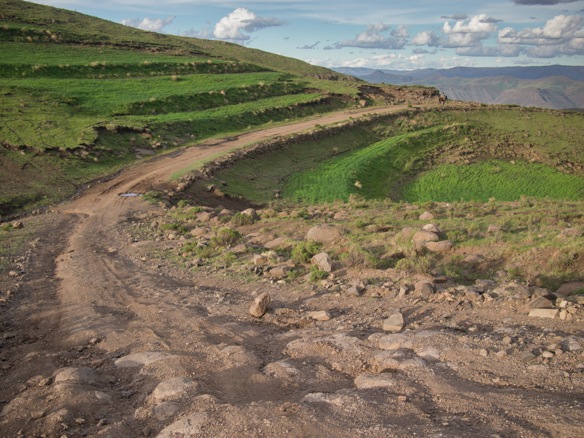
In the evening, we’d turned off the main dirt road onto a steep track. The only discernible tracks end at the village where we camped. Beyond that, it is all donkey tracks and foot paths along an old road bed.

A chasm lie ahead– that must be the Senqunyane River.

We descend all the way down to river level on a technical track, presumably once passable by 4×4 and probably not impossible to drive in most places, but there is no sign it has been driven in decades.

Views, and a technical ridable descent to an eventual swimming spot. Nothing not to like.
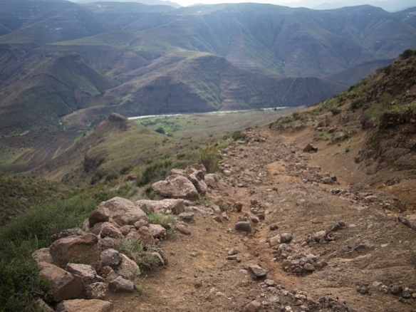
Sheep traverse the mountainside above, on what appears to be a good trail.
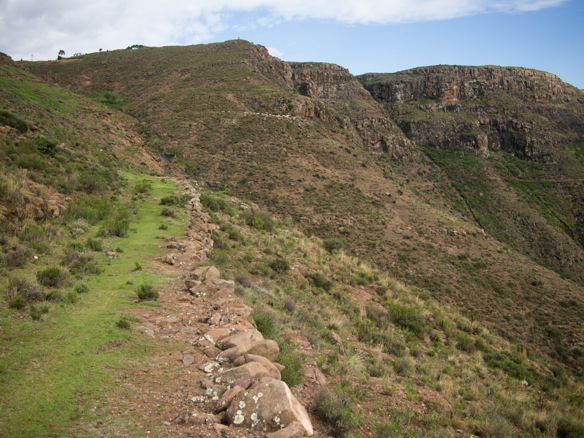

A little steep for loaded hardtails. Rather, a little too steep for kids without health insurance many hours from whatever or whomever would help if we needed it. The concept of self-preservation is present in our minds while traveling rough and remote tracks.

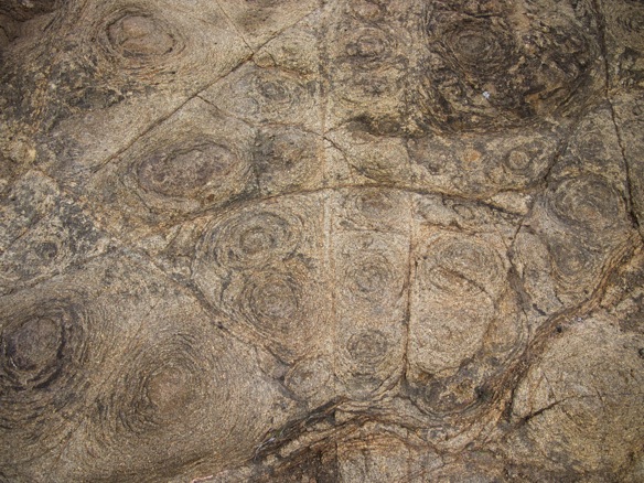
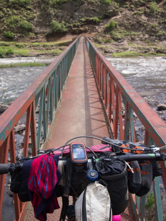
The newer bridge replaces an often dangerous ford, still required for the cattle.

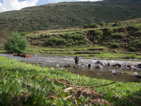
Immediately, the track ascends the other side. It rises more steeply than we descended, I think.

Soon, there are children keeping pace with our hike up the mountain. This total ascent is about 2500ft, although more elevation is gained later. A lot of the ascent is unreadable, but a pleasant enough place to push a bike.

Along the way, a growing group of children take chase. One particularly confident girls insists questioningly, “You are lost!?”.
“No, I am not lost”, I inform her. She insists, again and again. “Fada, you are lost.” Many of these children call us father and mother. Not sure if this is a typical sign of respect, or something related to the history of Christian missionaries in Lesotho.

After the usual introductions in which kids demand sweets and I laugh at them– asking instead if they would respond to my enthusiastic greeting– we break for some photos. Kids love to see the images. I think it is a reasonable way to exchange a few moments together, and to forget the sweets. It is not uncommon to be asked for sweets again as I take my first few pedal strokes away. I laugh again, half-heartedly. Bye!
More than “Hi” or “Hello”, people love to say say “Bye” or “Bye Bye” in Lesotho, often used as a greeting as well in more rural places. In order of frequency we hear the phrases “Give me sweets”, “Where to?”, “Bye bye”, and “Good morning”. Morning lasts all day.

We eventually crest the ridge to discover a deep river valley on the other side as well. We continue along the ridge, continuing to gain some elevation.

Thunderstorms closing it, threatening.


We take cover for a few moments as the wind blows and some water falls from the sky, thinking something really severe will develop. Everyone else seems to know that the storm will not materialize, but they offer us a roof for some time. The eldest daughter in the red and white robe is preparing to become a sister in Roma, a small city nearer to Maseru.
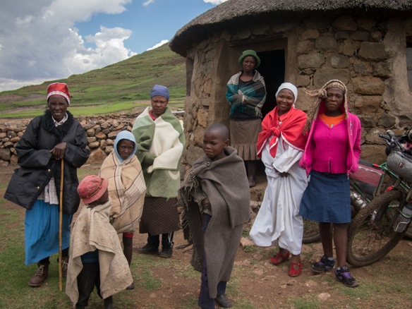
“Shoot me!”

“Me too!” Lesotho is an aspiring photographer’s dream.
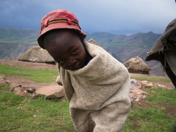
Maize for miles, all planted and harvested by hand, ploughed by animal, and most often transported by donkey to town for milling, and again by donkey on the return trip.

A 3-string gas can banjo.


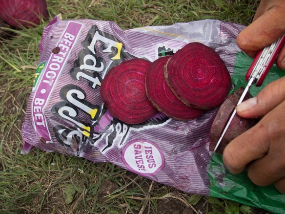
Christianity is widely present in Lesotho. Our bag of beets reminds us.
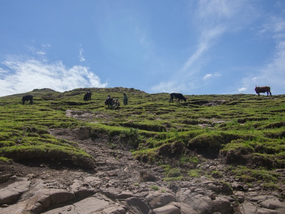
As we near Mantsunyane and a motorable road, outhouses, green plastic Jojo water tanks, and corrugated metal re-enter the landscape.
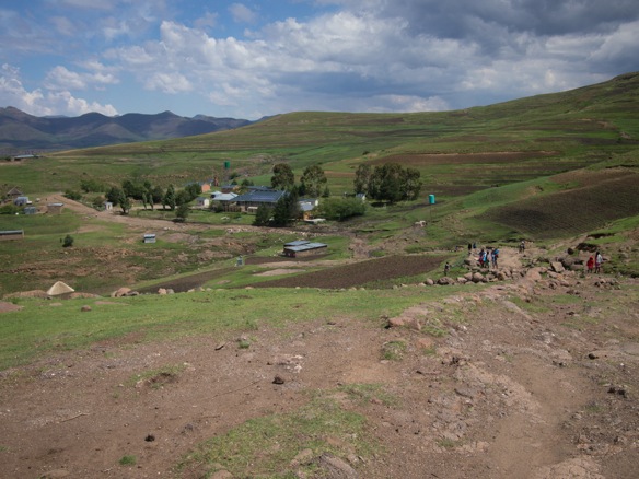

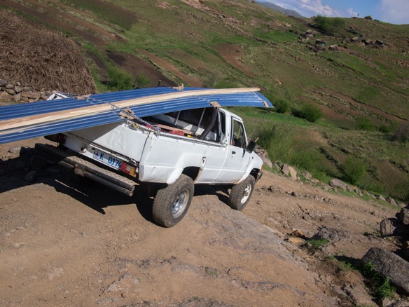


And we dance.

There are always shortcuts for animals and people on foot.
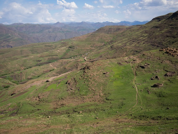

Finally, after a full day or riding and pushing, we are within sight of Mantsonyane.

The nuns that teach at the large school here are all waiting for rides home, this being a Friday several weeks before Christmas.
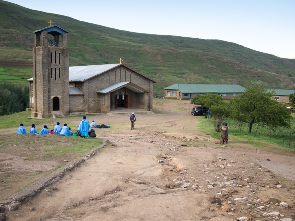

Mantsonyane.

Friday night pony races.

A quick resupply in town, including apples, onion, cold beers.
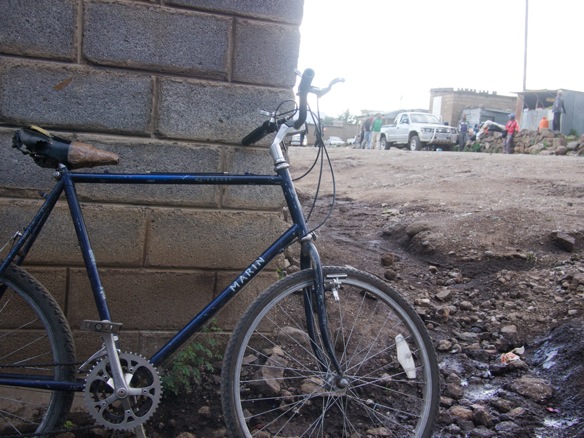
And of course, repackaged off-brand Nik Naks. Originally sold in 5 or 10kg tubes (usually almost 2m long), this seasoned puffed maize is redistributed into small bags and sold for 1 rand or 1 maluti, equal to about $0.10. These smaller bags were only a half maluti, so I bought six.

We follow the tar from Mantsonyane to Thaba-Tseka fro about 30 miles, over a high pass. The road is nearly empty, save for a few donkeys and white government vehicles.

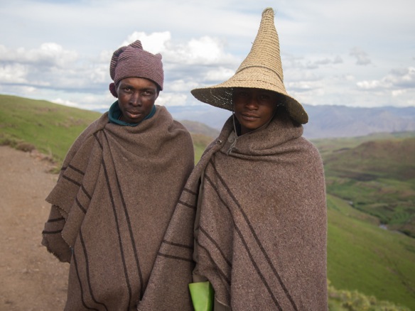
From the roadside we are invited to camp in a village and are led to meet the chief, a woman.

Complete with crash test dummy.

Camping adjacent to the chief’s house, the crowd of curious children keep their distance, for which we are thankful. After we have zipped our tent closed for the evening, for privacy, two small girls come by and are quietly felt nearby, whispering. Lael unzips and pokes her head out. They politely inform us, “We are here for the sweets.” Lael informs them that we don’t have any, and apologizes, not that we are sorry. We’ve been asked for sweets in many ways but I’ll never forget the phrasing, “We are here for the sweets.” Priceless.

We awake to the chief sorting her maize at sunrise, tossing pebbles and ill-conceived kernels by the wayside.

She then instructs this boy to stitch the bag back together.

This shepherd has bought two fresh rolls from the shop for us. Bread is a delicacy for those that rely on maize. This village is much different that many of the places we’ve been in the last few days, as it is bisected by one of the only tar roads in the country.

We climb the Pass of Jackals toward Thaba-Tseka and turn towards the infamous Khatse Dam. South Africans are especially proud of this massive civil works project, which provides power for Lesotho and water for South Africa. The project forcibly relocated many people, who ironically live without electricity.

The tar road brings us to our highest elevation in the country, over 9500ft. This is the first time we have been able to look out without seeing signs of people everywhere. Not that two shepherds didn’t find us in the twenty minutes we rest by the roadside. We offer some of our tea and scones, which they are obliged to accept.
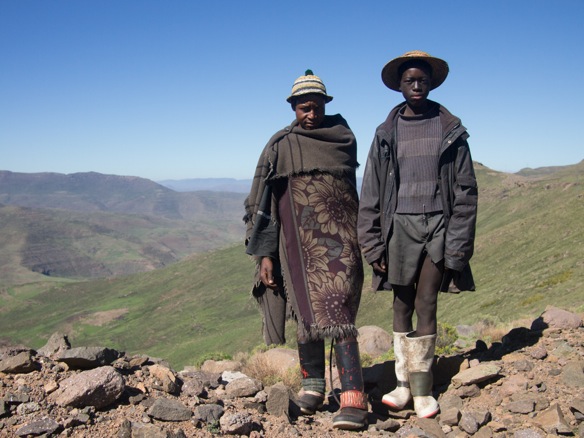
No people, for the first time.


Thaba-Tseka.
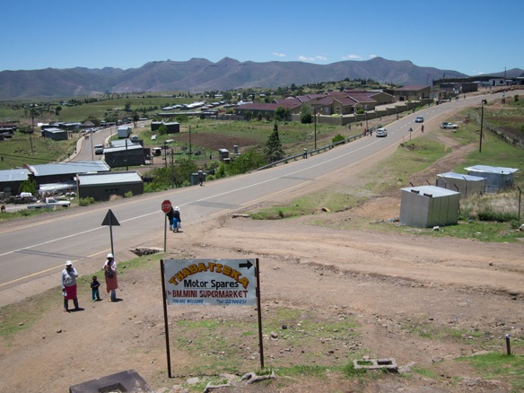
The dirt road towards the Khatse Dam is well-traveled and in very nice condition.
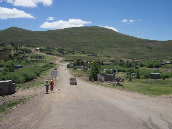

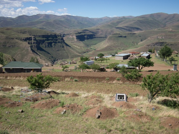
I exercise some tactics to avoid being asked for sweets, proactively greeting and questioning the children who come to the roadside. The idea is to distract them from their practiced and half-hearted routine. It works about half of the time, or less.

They are picking fresh greens which grow wild in the young maize fields.

A talkative shop owner offers us pap and eggs upon learning that we are from America.

The Khatse Dam.
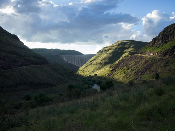
And our campsite, aside yet another school.

By morning, our audience awaits.

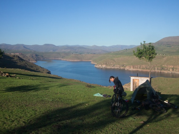
For some reason the GPS track from the Dragon Trax site chooses the tar road to Ha Lejone instead of the nice gravel road along the lake. I inquire locally and am told there are some “rascals” along this road. I can understand, I think, as I did sense some tension on our way to the dam yesterday. I suspect some resentment toward South Africans as a result of the dam. We proceed with curiosity.
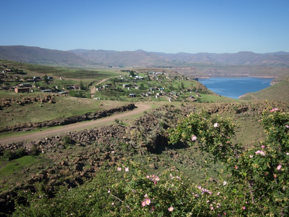

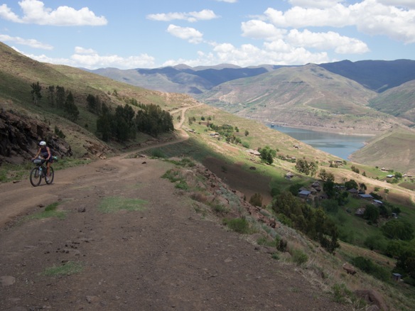
It proves to be a gorgeous ride on the mountainsides along the lake, and the feeling in each community is quite normal. That is, until a boulder comes tumbling down the mountain from several hundred meters above, sent by some mischievous shepherds. Rascals might be the exact word to describe this kind of behavior. The boulder missed by about ten meters. I heard it a few seconds before it came hurtling onto the road surface behind me. A good shot, I say. The boys send two more rocks downward. I should hope this is an isolated incident.
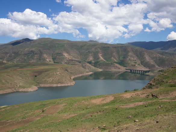
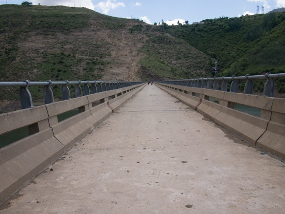
The lake is crossed by several small bridges.
We seek shelter from a thunderstorm in a small bottle shop in Ha Lejone.

Curious, as always.
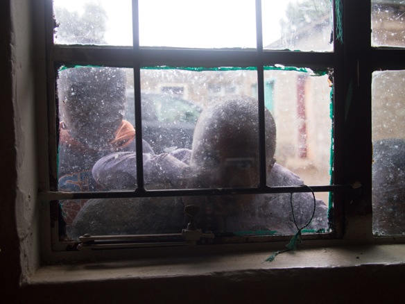
But these kids are tons of fun. Most kids in Lesotho are loads of fun, if you can find the energy for it. We can’t fault them for finding us interesting and wanting attention. We love them, but by the end of the day, we relish the few moments of peace in our tent.

Away from Ha Lejone along the lake, we consider two route options. The Dragon Trax route follows a river, away from any roads or trails shown on my basemaps. Locals don’t know anything about the route. It will either be a well traveled footpath that only people in the last few villages use, or it won’t be much of a trail at all. The alternate route is a 4×4 road past the Kaa Diamond mine over a pass to the main tar road, landing somewhere near the AfriSki center on the other side.


Now that we are mining country, even the good gravel roads get extremely steep.
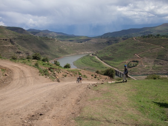
Storms continue to threaten.


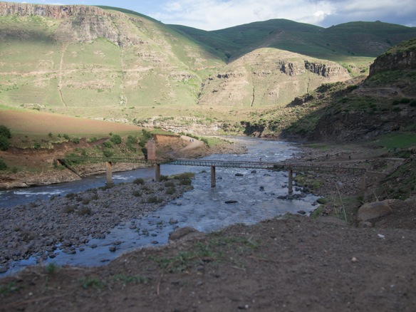
We climb one last time for the evening and descend to the Motete River for the night. We’ll begin first thing in the morning.


Damp roads and a chance of rain invite us in the morning.


The road continues for several kilometers, diminishing along the way into a wide footpath tracked only by feet.


And then a series of singletracks to the last village.
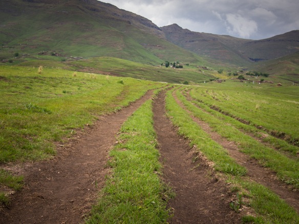
This is where it gets interesting. From here, we follow the Malibamatsu River to the tar road, a distance of almost 20 miles.
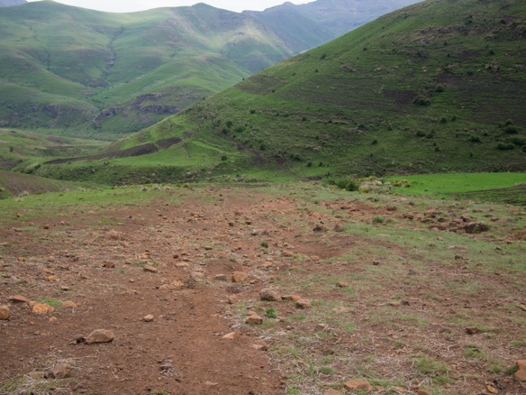
At first, we find remarkably ridable hillside singletrack.

Pick and choose from mostly ridable trail, but with frequent dismounts.
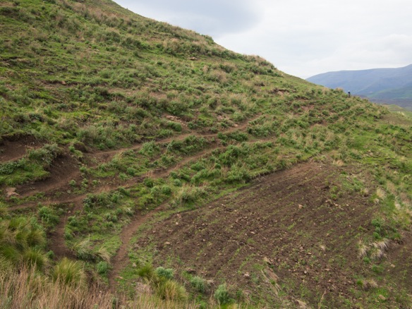
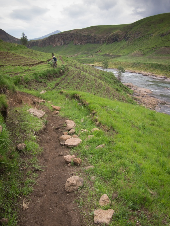
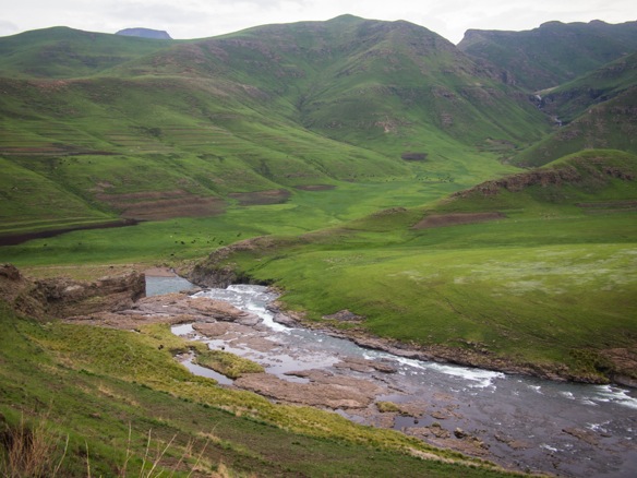
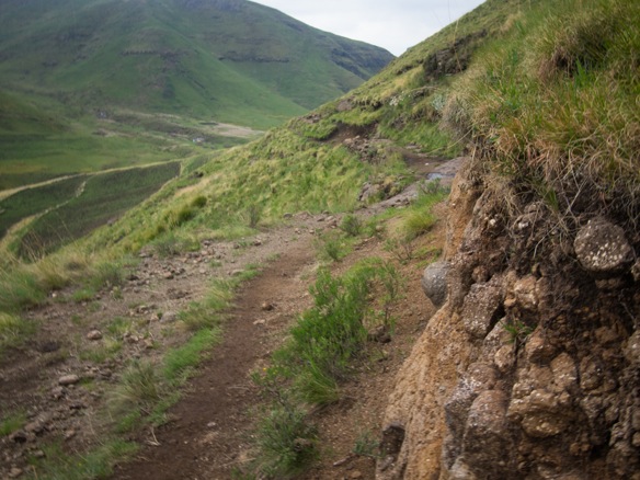
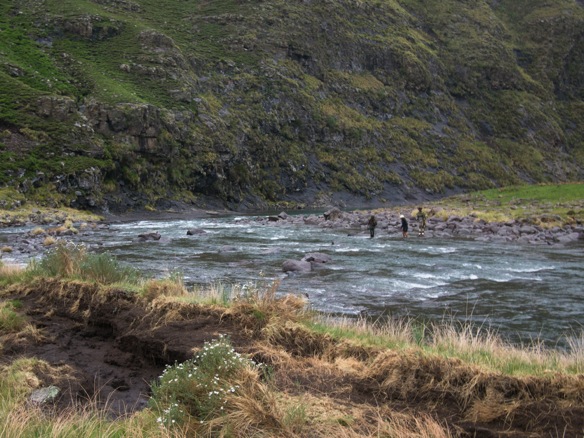
The trail becomes less defined, rougher, and less continuous, easily confused with the thousands of sheep trails on the hillside. We continue as near to the track shown on the GPS as possible, which often lands us onto reasonably passable trail. Eventually, the we must cross the river, four times in total, in quick succession. At this point it has been raining slowly for several hours. We wade waist deep through a strong current, about as deep and swift as I am comfortable carrying our bikes. We leave our shoes on, and hoist the bikes mostly out of the water, partly floating them on the surface to reduce the strain and to stabilize ourselves. When crossing the river in the opposite direction to keep the bicycles on our right hand side but not upstream of us, which presents a serious hazard, we point the tires upstream and walk sidestep from bank to bank.

These two shepherds try to help Lael find a better place to cross, as I have already carried both bikes across this section which went nearly to my chest. This was the fourth and most challenging ford. There are no villages for many kilometers in either direction. These boys are tending to a flock of sheep for the summer, living in very simple thatch roofed round houses, like slouching squat versions of the nicer roundhouses most Basotho inhabit. These guys were actually really cool, and asked for our phone number to call us later. We informed them that we did not have a phone, which was shocking and hilarious.
Eventually, after hours of bushwhacking along infrequently ridable sheep trails, the route regains some definition. The rain leaves us, and the feeling comes back to our fingers and toes. We were at once quite miserable. A lightness returns to the day.


To finish the route to the tar road, the trail shortcuts several meanders.


A shepherd’s shelter, which often takes a high vantage. Each shelter is spaced just within sight of the next one, usually a km or more away.
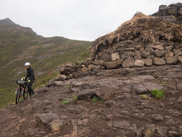

The last few km are partly ridable, the sun shines, and what once felt like a huge task, is not more than a powerful memory.

We immediately point our tires up Moteng Pass and spend the entire climb praising the virtues of tar roads. After many miles of pushing, my Achilles is very tight. The tar is a relief for now.
Up.
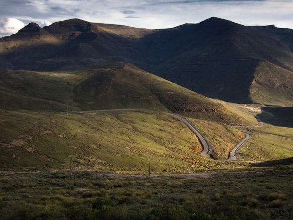
And down, at breakneck speeds down 4000ft.

The Dragon Trax route continues north up another roadless river valley to connect near the border. We opt for a casual long-cut on the tar road, to connect with a gravel road along the border. This likely adds over sixty miles, but our bodies enjoy the chance to pedal and dry out.

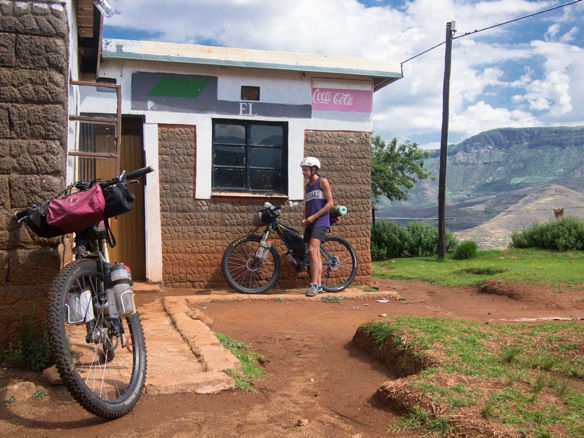


We turn onto gravel for our final day of riding toward Monantsa Pass.

The white flag indicates that there is maize beer for sale. Yellow indicates fresh fruit. Green, vegetables.

I assist with some roadside bike repair. My Crank Brothers Multi-Tool is a marvel, especially the chain tool.


Sorry, no sweets, kids.
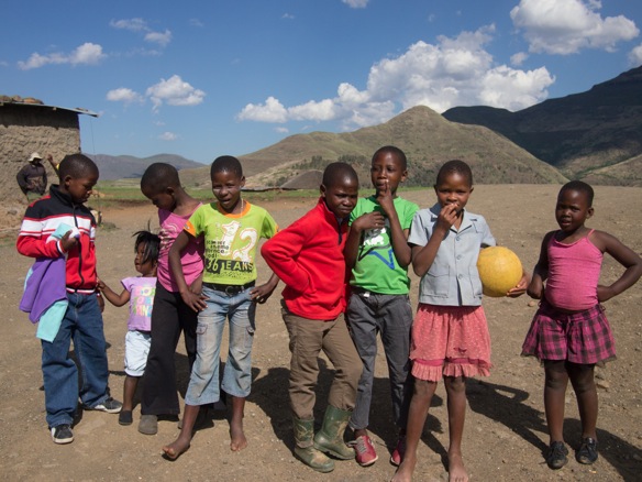
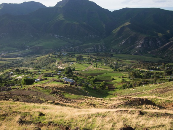
Riding to South Africa, which will be a relief.
We take a wrong turn just before the border and climb an extra 1500ft into a wooded meadow. There have been very few trees in all of Lesotho.
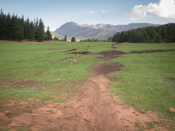
We camp for the night, and plan to ride across the border in the morning. At least up here we are treated to a peaceful night. It feels like Northern Arizona up here.

Donkey wake us in the morning.

Descend to the main dirt road.
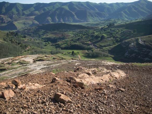
And climb to the border. There are crews of workers lazily tending to road construction matters near the top of the pass. Less than a 100m from the border, one woman demands, “Give me your squeeze bottle!” She is referring to the water bottles on my fork. I look at her, sweating and panting from a steep climb in intense sun. I shake my head no, and push for the border. I love you Lesotho, but I need a break.

The descent off the backside of the Drakensburg into South Africa feels like a homecoming.


